
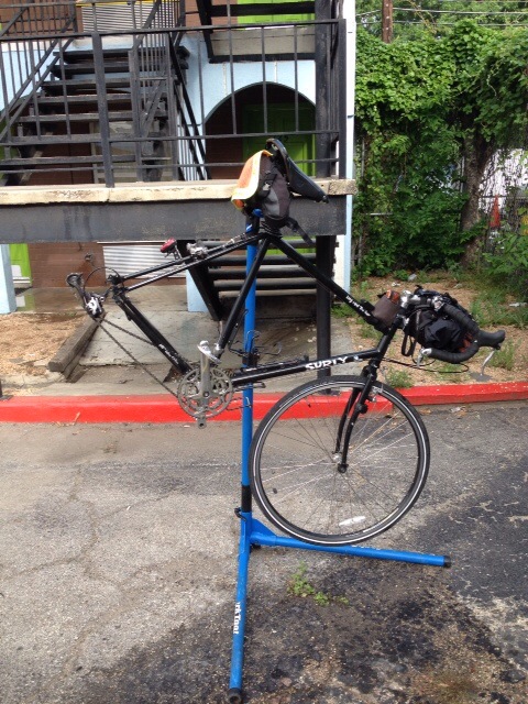
I had a rest day in Austin yesterday. After cleaning and doing a little maintenance on my bicycle in the morning, I walked downtown to check out Austin. It seemed to be a bike and pedestrian friendly city. I walked through University of Texas campus and through some of the main streets, stopping for a lunch and a coffee along the way. I checked out the Mellow Johnny’s Bike Shop but managed to escape before spending any money. I did spend some money the day before at REI after rolling in to town. I walked to a restaurant with some of the other cyclists and had a great meal.
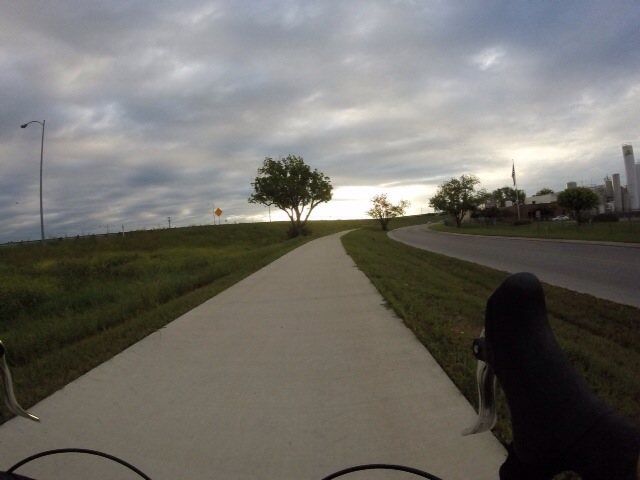
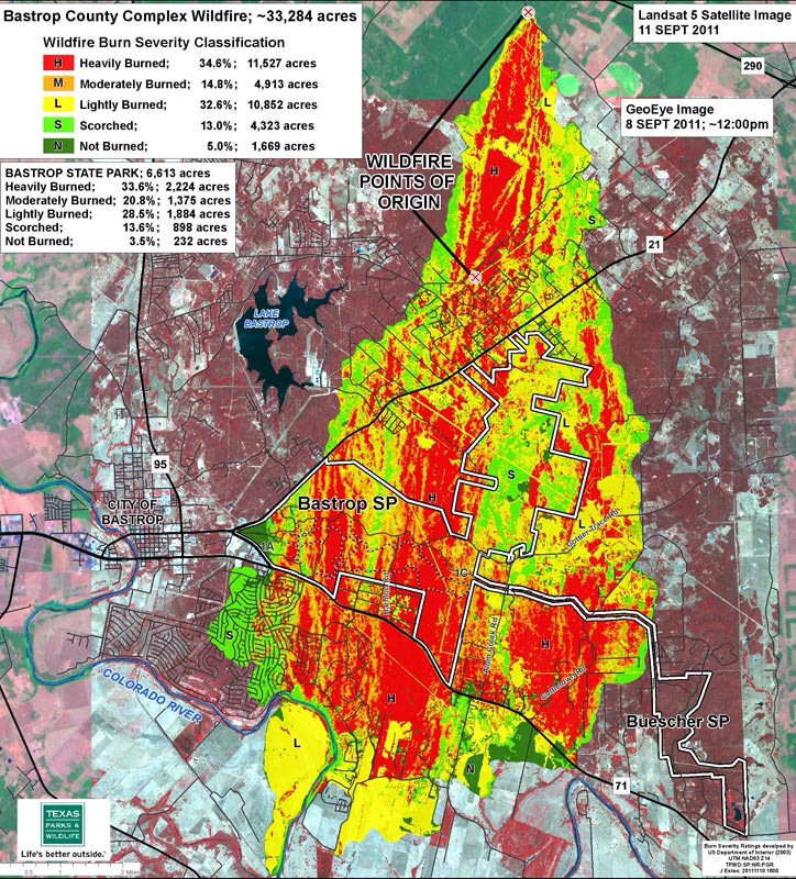
This morning I got on the road with one of the other cyclists just before 07:30. We followed the ACA route from the Rodeway Inn and were surprised to find out that there was little traffic heading south on Red River Road and east on 4th and 5th streets. We took the Lance Armstrong Bikeway for a short distance and after about 10 miles or so we arrived in Montopolis. We met some of other riders from our group along the way and after another 17.5 miles we stopped at a gas station/store/restaurant in Cedar Creek. Most of us had coffee and breakfast burritos. After that short break we continued on and passed through the town of Bastrop and then Bastrop State Park and Buescher State Park. A huge fire had spread through the state parks in the past and had burned much of the pine forest. It looked to me like about a 4 or 5 year old burn. I noticed several areas where there was natural regeneration and the young pine showed a lot of new growth.
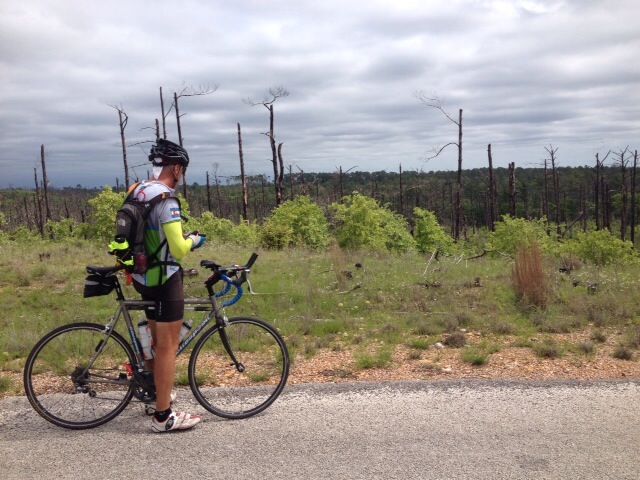
I later found out that the Bastrop County Complex fire ignited on September 4, 2011 and was the most destructive wildfire in state history. The 32,000-acre fire destroyed over 1,600 homes and killed two people.
The road we had intended to ride through in Buescher State Park was closed because of localized flooding so we headed south on an alternate road to hightway 71/95. Our group split up as two of us picked up speed on the smooth highway shoulders. After about 7 or 8 miles we were able to hook back up on the ACA route and headed east on Rd. 153 toward Winchester. As we approached Winchester, the sky clouded over and it started to look like thunderstorms would be moving in soon.
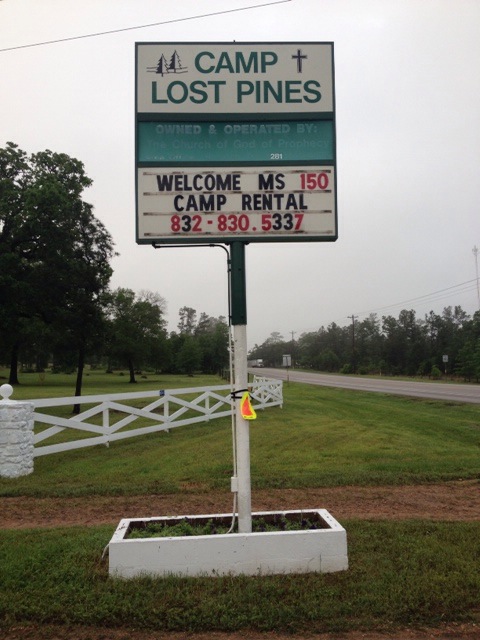
At Winchester we deviated from the ACA and headed north on Rd.448, east on County Rd. 215 and then south on US 77 before arriving at Camp Lost Pines, north of La Grange. Camp Lost Pines is a church camp and they were nice enough to let us stay in some of their cabins since the camp was empty. Just after arriving in camp, the thunderstorms rolled in. I ended up riding 74.8 miles for the day. My GPS shows the elevation at camp as 389 ft.