
On August 1, I cycled and paddled with a friend at their home near Perth, Ontario. We cycled a 44 km circle route along mostly quiet country roads. It was nice to visit friends before heading out on my short 3 day bike tour.
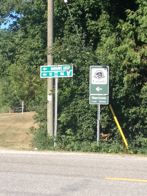
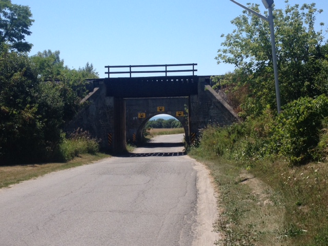
On August 2, I headed out for a three day tour along sections of the Great Lakes Waterfront Trail. To access the Waterfront Trail at Kingston, I followed a route from Perth to just north of Kingston that I found on the Ottawa Bicycle Club’s website. The Century ride from their Rideau Lakes Cycle Tour followed quiet backroads most of the way. I loaded the gpx file on my Garmin Etrex 20 and printed out the cue sheet. The route takes you from Perth to Narrows Lock Station (where Upper Rideau Lake meets Big Rideau Lake) and on through Battersea to Kingston.
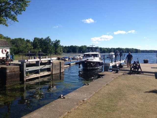
I got on the road just after 8am and after cycling 102 km I arrived at the 1000 Islands/Kingston KOA northwest of Kingston, just before 1:30pm. It was an enjoyable ride along quite country roads with very little traffic. Along the way I stopped briefly at Narrows Lock, Battersea and Sunbury.
The next morning I got up early in order to get on the road and put on some km before the heat of the day. I chose one of the hottest weeks of the summer for my short trip with daytime temperatures reaching over 30 Celsius every day. I also wanted to get through Kingston before the morning traffic got too busy. I left the KOA just after 6:30 in the morning and within the hour was cycling along the Waterfront Trail.
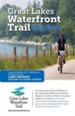
“Stretching over 1600km along the Canadian shores of Lake Ontario, Lake Erie, Lake St. Clair and the Niagara, Detroit and St. Lawrence Rivers, the Waterfront Trail connects 84 communities and over 405 parks and natural areas including wetlands, forests and beaches.
The fully signed Trail is a combination of paths (21%), neighbourhood streets (21%), and rural roads (58%). Many urban centers have dedicated paths that are a central features of their waterfronts.”
I purchased a copy of the Great Lakes Waterfront Trail Map Book for this trip and printed out some copies of some of the maps from pdf files on the Waterfront Trail website.
Heading west out of Kingston along Highway 33 (the Loyalist Parkway) the road was busy and the shoulder was narrow until I got past Amherstview.
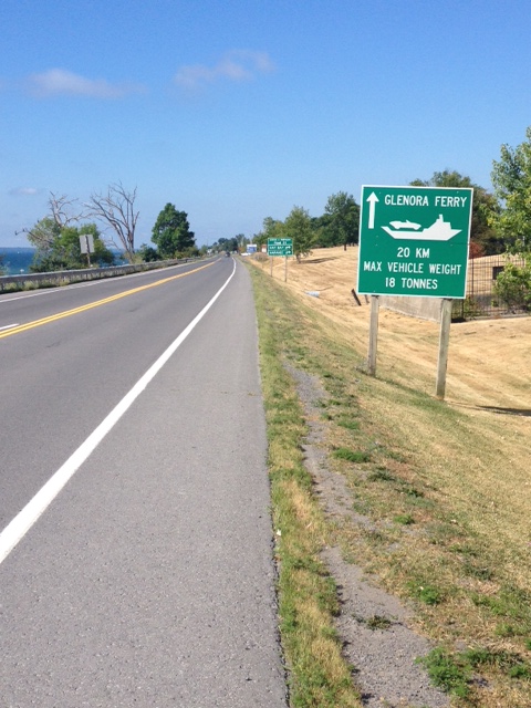
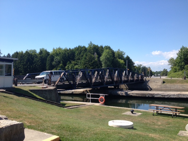
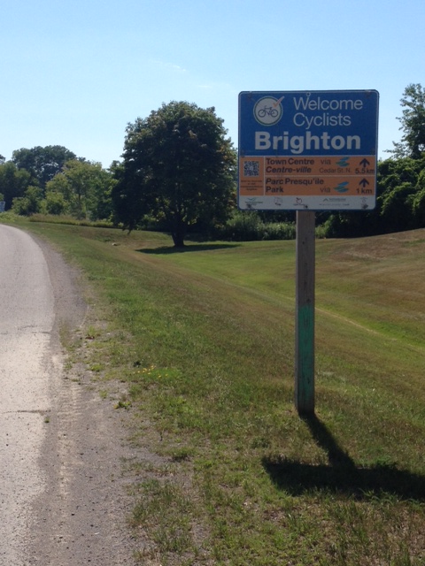
I continued to ride on Highway 33, following the shoreline of Quinte Bay for another 39 km until I reached the ferry, west of Adolphustown. The short ferry ride crossed narrows on the Bay of Quinte and docked at Glenora. After riding another 9 km I arrived in the busy little town of Picton. I was anxious to escape the heat for a bit so I stopped at a Tim Hortons for a break and to enjoy the air conditioning. After cooling down, I headed back in to the heat and continued on Highway 33. After about 30 km I stopped near the town of Consecon for an ice cream cone. I had to eat the cone quickly as the ice cream was melting quickly. After a short break I continued along Highway 33 until I reached County Road 64 where I headed west towards Brighton. Just before reaching Brighton, I crossed the Murray Canal on the Brighton Swing Bridge. After riding another 6km past the swing bridge, I arrived in Brighton just after 3:30 pm and spent an enjoyable night at my cousin’s house. I travelled 153 km that day.

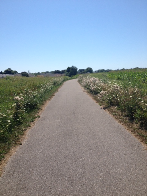
The following morning, August 3, after enjoying a great breakfast, I was on the road just before 9 am. The first part of the ride followed quiet roads and County Road 2. After riding about 40 km I arrived in Cobourg. The main street was busy with cars and the sidewalks were full of pedestrians on such a nice, hot, summer day. I stopped for lunch at the Buttermilk Café and sat at a table on the sidewalk just across the street from the city hall. After eating my lunch and chatting with a couple from Toronto, I continued on towards my final destination, Darlington Provincial Park, east of Oshawa. It got quite warm as I cycled along County Road 2 towards Port Hope and the traffic volume increased. After Port Hope I turned on to Lakeshore Road and followed that quiet and little used road all the way to Bond Head.
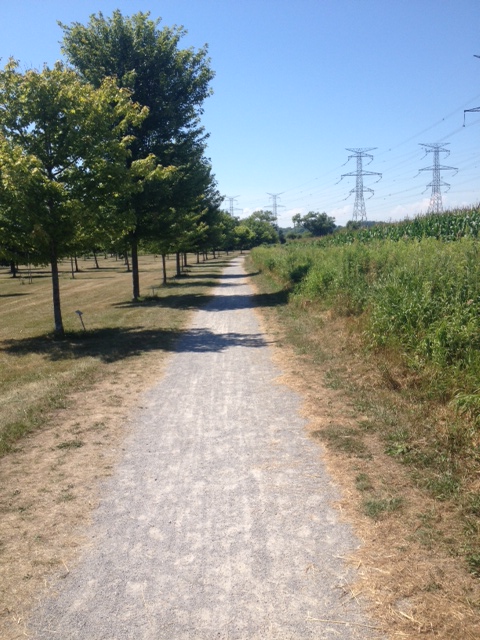
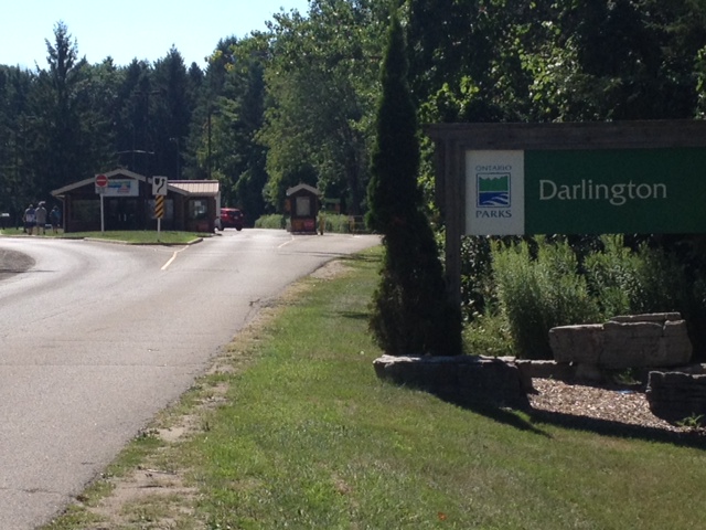
After Bond Head I cycled on a variety of roads and cycle paths until I reached Darlington Provincial Park at 4 pm. I travelled 109 km that day.
Thoughts about the Waterfront Trail
- The maps in the Map Book and on the website are very good.
- It would be nice if there were gpx files available on the website for downloading.
- Next time I won’t print out any maps. I’ll take the map book, my GPS and use pdf files downloaded to my smart phone for back-up.
- The signage is okay but somewhat inconsistent. There were some stretches with little signage and a few spots were extra signage would have been helpful. The roads and trails were easy to navigate though.
- A lot of hard work has gone on to knit this system of roads and trails together.
- Although there were a few sections of highway with narrow to no paved shoulders, I didn’t feel concerned at any time.
- I enjoyed the short tour and plan to ride the entire 1600 km of the system next year or the following year.